Pelatihan Geotagging dan Layout Peta untuk Organisasi Perangkat Daerah Kabupaten Ogan Ilir Geotagging and Map Layout Training for Regional Apparatus Organizations in Ogan Ilir Regency
Article Sidebar
Main Article Content
Abstract
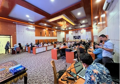
Geospatial data and technology are critical in a country's sustainable development process. Regional Apparatus Organizations (OPD) are essential in implementing regional government, which requires knowledge and understanding of geospatial data and technology to support better decision-making in a region. One way is through Geotagging training for ODP to increase knowledge, utilization, and competency in human resources in the geospatial field. The target of this training is the Ogan Ilir Regency OPD in South Sumatra Province. Training is held face-to-face using lecture and practice methods. Participants are given modules and receive direct guidance during the training process. The output of this training shows a significant increase in participants' understanding of geospatial data and the use of geotagging both theoretically and practically, which can be assessed from the presentation of the results of the tasks they have completed. This activity is a provision for ODP Kab. Ogan Ilir to be able to manage geospatial data and information.
Downloads
Article Details

This work is licensed under a Creative Commons Attribution-ShareAlike 4.0 International License.
Authors who publish with this journal agree to the following terms:
- Any article on the copyright is retained by the author(s).
- Author grant the journal, right of first publication with the work simultaneously licensed under a Creative Commons Attribution License that allows others to share work with acknowledgment of the work authors and initial publications in this journal.
- Authors are able to enter into a separate, additional contractual arrangements for non-exclusive distribution of published articles of work (eg, post-institutional repository) or publish it in a book, with acknowledgment of its initial publication in this journal.
- Authors are permitted and encouraged to post their work online (e.g., in institutional repositories or on their websites) prior to and during the submission process, as can lead to productive exchanges, as well as earlier and greater citation of published work.
- The article and any associated published material is distributed under the Creative Commons Attribution-ShareAlike 4.0 International License
References
Defitria, U., Priyambadha, B., Rusdianto, D.S. (2018). Pembangunan Aplikasi Social Geotagging Destinasi Wisata Berbasis Android. Jurnal Pengembangan Teknologi Informasi dan Ilmu Komputer, 2(12).
Farida, A., & Mutiono, M. (2023). Pelatihan Pengambilan Data di Lapangan Menggunakan GPS dan Avenza Maps. Jurnal Pengabdian Masyarakat, 2(4), 356-361.
Peraturan Presiden Nomor 7 Tahun 2022 Tentang Petunjuk Teknis Dana Alokasi Khusus Fisik Tahun Anggaran 2022, Presiden Republik Indonesia 196127 (2022).
Peraturan Presiden Republik Indonesia Nomor 23 Tahun 2021 Tentang Perubahan Atas Peraturan Presiden Nomor 9 Tahun 2016 Tentang Percepatan Pelaksanaan Kebijakan Satu Peta Pada Tingkat Ketelitian Peta Skala 1 : 50.000, 1 (2021).
Rozin, A. F., Mulyana, A., & Hartaman, A. (2020). Penerapan Geotagging Pada Sistem Tanggap Bencana Dan Panggilan Darurat Berbasis Android. EProceedings 6(2), 3833–3850.
Suprianto, A., & Effendi, H. (2020). Panduan Lapangan Pemetaan Berbasis Android Menggunakan Avenza Maps.