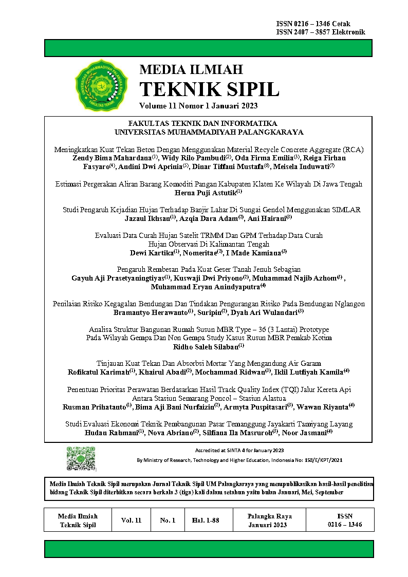
Evaluasi Data Curah Hujan Satelit TRMM Dan GPM Terhadap Data Curah Hujan Observasi Di Kalimantan Tengah Evaluation Rainfall Data Of TRMM And GPM Sattelites Based On Observation Rainfall Data Over Central Kalimantan
Main Article Content
Abstract
Rainfall is an indispensable component of hydrological analysis. However, the observational rainfall data has problems such as incomplete and shorter data. Rainfall measurements using high resolution and wide area coverage satellites provide a potential alternative for various hydrological analyses. But the measurement of rainfall using satellites is not necessarily accurate due to the difference in resolution of the observational rainfall data, especially in Central Kalimantan Province. This study aims to determine the accuracy of satellite rainfall data based on observational rain data and evaluate it. Evaluation is done by looking for the relationship between the two-rainfall data using a regression model. The results showed that the TRMM total grid rainfall data (R2 = 0.5233) had a higher correlation to the observational rainfall data compared to the GPM rainfall data (R2 = 0.3909). Furthermore, a discharge analysis was carried out in one of the watersheds in Central Kalimantan, namely the Kahayan watershed using the Nakayasu Hydrograph Synthesis Unit method with a certain return period with satellite rainfall data input which has a fairly good accuracy based on the results of the analysis. The estimated discharge with return periods of 2, 5, 10, 25, and 50 years for TRMM rainfall data before correction are 1976.74m3/s, 2165.66 m3/s, 2239.19 m3/s, 2313.63 m3/s, 2375.69 m3/s respectively, and for the estimated discharge after correction are 2549.35 m3/s, 2670.59 m3/s, 2736.42 m3/s, 2801.37 m3/s, 2854.82 m3/s.
Downloads
Article Details

This work is licensed under a Creative Commons Attribution-ShareAlike 4.0 International License.
All rights reserved. This publication may be reproduced, stored in a retrieval system, or transmitted in any form or by any means, electronic, mechanical, photocopying, recording.
References
Huffman, G. J., Bolvin, D. T. & Nelkin, E. J., 2007. The TRMM Multisatellite Precipitation Analysis (TMPA): Quasi-Global, Multiyear, Combined-Sensor Precipitation Estimates at Fine Scales. Jurnal of Hydrometeorology, pp. 38-55.
NASDA, 2001. TRMM Data Users Handbook. s.l.:Earth Observation Center, National Space Development Agency of Japan.
Ningsih, D. H. U., 2012. Metode Thiessen Polygon untuk Ramalan Sebaran Curah Hujan Periode Tertentu pada Wilayah yang Tidak Memiliki Data Curah Hujan. Jurnal Teknologi Informasi DINAMIK, pp. 154-163.
Pratiwi, D. W., Sujono, J. & Rahardjo, A. P., 2017. Evaluasi Data Hujan Satelit Untuk Prediksi Data Hujan Pengamatan Menggunakan Cross Correlation. Jakarta, Fakultas Teknik Universitas Muhammadiyah Jakarta, pp. 1-11.
Samosir, D. Y., Yuliara, I. M. & Prasetia, R., 2021. Perbandingan dan Analisis Pola Spasial Curah Hujan Data IMERG (Integrated Multi-Satellite Retrievals for GPM) dan Data Observasi di Provinsi Bali. Buletin Fisika, pp. 67-76.
Triatmodjo, B., 2008. Hidrologi Terapan. Yogyakarta: Beta Offset.
Vernimmen, R. R. E., 2011. Evaluation and Bias Correction of Satellite Rainfall Data For Drought. Hydrology and Earth System Sciences, pp. 133-146.
Xu, R. et al., 2017. Ground validation of GPM IMERG and TRMM 3B42V7 rainfall products over southern Tibetan Plateau based on a high-density rain gauge network. Journal of Geophysical Research: Atmospheres, pp. 910-924.
